Longitudes and latitudes are lines which can be drawn on maps to help us locate places easily. Lines of Latitude run from East to West. Lines of Longitude run from North to South.
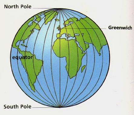
Here is an image showing all of the lines of latitude and longitude on a globe;
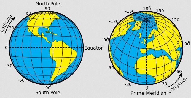
Now imagine those same lines on a flat map of the earth, it would look like a grid;
Lines of longitude and latitude are examples of grid lines.
These are imaginary lines that run from West to East on maps and globes. They do not exist on the ground.
Lines of latitudes are straight.
The Equator is the most important line of latitude. It is the middle latitude and is marked 0º. It divides the earth into the Northern and Southern hemisphere.
In Kenya, the Equator passes through Timboroa, Nanyuki and Maseno. In Africa, it passes through Gabon, Congo, Democratic Republic of Congo, Sao Tomé and Principe, Uganda, Kenya and Somalia.
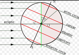
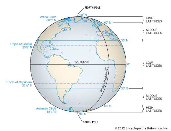
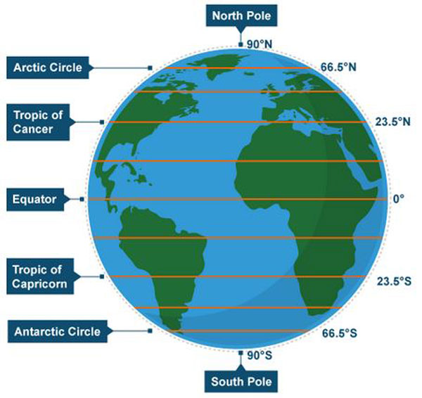
Other main latitudes include:
In total, there are 180 lines of latitude, 90 of them to the North and 90 of them to the South of the Equator.
These are imaginary lines drawn on maps or globes, running from North to South. The distance from one longitude to another varies as one moves away from the Equator towards the poles. Longitudes are not parallel.
The widest distance is at the Equator.
The most important line of longitude is known as the Prime or Greenwich Meridian. It is marked 0º. It passes through the towns of Accra in Ghana and Greenwich in England.
The International Date line follows longitude 180º. Dates are calculated from it.
The Equator and other lines of latitude are shown below.
The Greenwich Meridian and other lines of longitude.
Watch this video about latitudes and longitudes