Kirinyaga County
Introduction
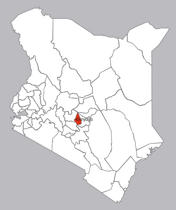
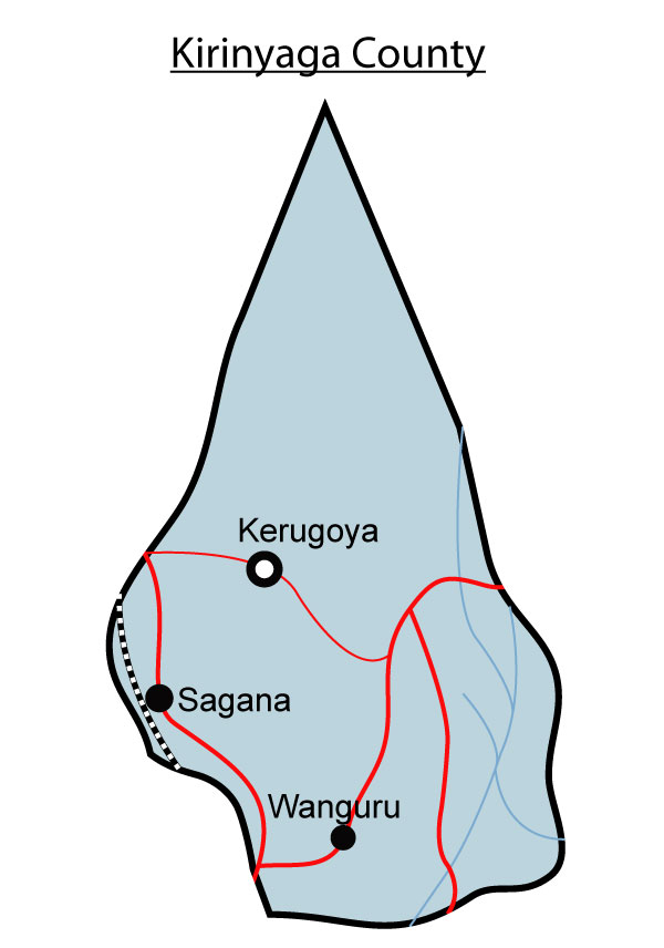
It is a county in the former Central Province of Kenya. Its capital is Kerugoya / Kutus and its largest town is Wanguru. In 2009, the county had a population of 528,054 and an area of 1,205 km.

Constituencies
It consists of four constituencies namely;
- Mwea Constituency
- Gichugu Constituency
- Ndia Constituency
- Kirinyaga Central Constituency
Physical features
Rivers
- Sagana
- Nyamindi
- Rupingazi
- Thiba
- Rwamuthambi
- Ragati
Mountains
Hills
Kirinyaga Plains
Valleys
Importance of physical features
- Physical features like forests are a water catchment area and a home to wild animals and birds.
- Mount Kenya was used as a sacred place for worship
- Rivers Sagana, Nyamindi, Rupingazi, Thiba, Rwamuthambi, Ragati are a source of water.
- Physical features are a source of revenue through tourist attraction.
Types of natural vegetation
- Forest vegetation
- Mountain vegetation
Importance of vegetation
- It defines the climate of the area
Map distribution of physical features


People and population
Most of them are Kikuyu who practice small scale farming in the area.
Cash crops and food crops grown
- Tea
- Sugarcane
- Maize
- Coffee
Areas where the cash crops are grown
Types of livestock kept
Fishing
Areas where fishing is practiced
Fishing in the area is practices in the rivers;
- These rivers include: Sagana
- Nyamindi
- Rupingazi
- Thiba
Forestry
Major forests
- The mountain kenya Forest
Wildlife and Tourism
Types wildlife
- Antelopes
- Gazelles
- Zebras
- Hippopotamus
- Elephant
- Cheetah
Game parks and reserves
Major tourist attractions
- Mt. Kenya
- Mwea National Reserve
Industries
Traditional industries
- Mining
- Agriculture
- Faming
Products of traditional industries
- Sand
- Maize
- Beans
- Livestock
Trade
Major trading centres


